In the last issue, we discussed the first step in urban planning: form a planning commission. This month, we’re getting into the second step, which is to put that planning commission to work. But, at what? And with what?
Our state planning statutes are the answer to the first question. The planning commission begins by preparing plans. Actually, the first step requires preparation of a planning area map, one that shows the general location of streets, public ways, public property and the boundaries of the area within the territorial jurisdiction for which the commission will prepare plans, ordinances and regulations (A.C.A. § 14-56-412). This map may include the corporate limits and from one to three miles beyond, depending on the city’s population.
Recommendation: Recent fiddling with the statutes describing territorial jurisdiction resulted in some tedious statutory language. Seek professional guidance in establishing this boundary.
Having completed the planning area map and duly recorded it, the fun starts. Now the planning commission must study the nature and needs of the area and determine the next best actions. This can prove more complicated than simply reviewing what another city did. Each city is unique.
The planning statutes prescribe the next step. The commission shall prepare a work program and make comprehensive studies of the present conditions and the probable future growth of the municipality and its neighboring territory (A.C.A. § 14-56-412 [b]).
Nothing in the statutes and little in planning literature define what “comprehensive studies” means. Traditionally, the commission makes an initial determination of what is happening in the planning area when the planning process commences. This involves an analysis of the existing infrastructure and land uses.
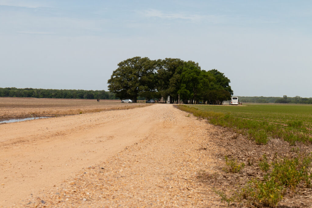
Determining existing land use is a requirement that can make experienced urban planners shudder at the memory of “windshield surveys” to determine the use of every parcel of land in the planning area. In olden days, these on-the-road observations might have occurred during an Arkansas August prior to efficient air conditioning systems in vehicles. Despite the discomfort, if done properly by experienced personnel, it is still the most dependable method.
Modern technology can simplify the process. Satellite imagery and aerial photographs available via computers help. Depending on the county, assessor’s records may provide an instant proxy for land use as depicted by tax records. Those records may require some calibration but could certainly make things easier.
There is also public information available through the 911 datapoint program, which has a 95 percent accuracy standard. Property involved is classified as residential, commercial, industrial, governmental, recreational or other. This is suitable for many cities as an existing land use database.
Rob Middleton, a third-generation urban planner and GIS practitioner, notes: “The 911 datapoint program provides a good starting point for developing a land use database. Because the points are based exclusively on structures, they won’t cover all lands. In addition, a farmhouse is considered residential, while a barn or shop on the same property would be considered agricultural. This can be fine-tuned, but one needs to be careful about it.”
A zoning map to be prepared during a later phase may require different classifications and legal descriptions. Those beginning a planning process must remember two things: A land use plan represents municipal policy. A zoning map represents municipal law.
Population trends and forecasts play an important part in preparing urban plans. This can pose a complex and tricky exercise, as triggering events can be so unpredictable in our modern world. This is particularly true of projections. One primer described them as a “best-guess” calculation of the number of people expected to be alive at a future date, based on assumptions about population size, births, deaths and migration.
In addition to projections, characteristics of the population can determine certain aspects of planning. A city with an elderly population will place different demands upon utilities, transportation and community facilities than one dominated by working-age residents.
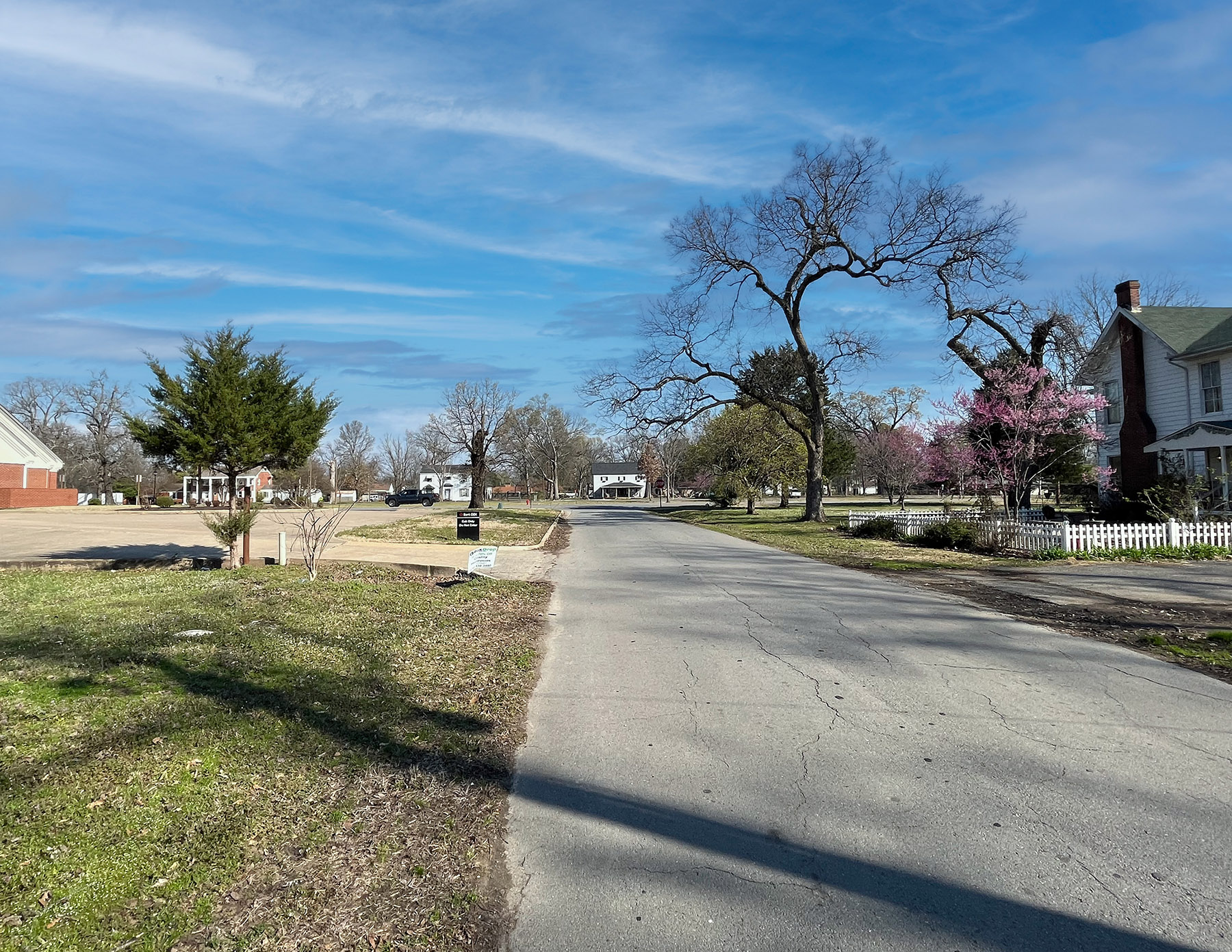
Physical characteristics play a key role in planning. One city in our state lies completely in a designated floodplain while serving as a supply center for an area that helps to feed the world. Another is bounded by such rough topography that physical expansion is nigh impossible even though the visually appealing topography is a draw for new residents.
Most cities and towns exist somewhere in between.
Analysis of the utility system requires a professional. Whether a city manages its utilities directly or appoints a special body, plans will depend on the availability of utilities at affordable rates. Each unit of infrastructure added to accommodate growth requires a perpetual cost to all residents.
An understanding of the socioeconomic profile of a community is essential to embarking on plan formation. Are there jobs? What kind of jobs are there? How much do they pay? Are the workers skilled? What is the educational level of the workforce? What are the age groups of the workforce? How has the age-group profile changed in recent years?
Increasingly, there is an alarming gap between the cost of housing and household income in our cities. Planning must take this into account although remedies are scarce. Also, a city in the farming region must deal with a farming industry that may now need one worker for every six it once needed to farm the same area. For a state where cities rely on sales tax revenues to exist, permanent residents are vital. When those residents disappear, hard times appear.
One of the more critical areas of needed information in city planning is housing. Without permanent residents, there can be no city. Without housing, there can be no permanent residents. Teachers use a Latin phrase, sine qua non, literally, “without which, not.” The concept requires data and asking tough questions.
Such questions must be specific to the city or town. What types and quantities of housing exist in our community? What is the age of existing housing? Is there housing to accommodate the workforce or must workers commute from other areas? What is the cost of housing for the workforce? How many new units appear annually? Are we losing housing for permanent residents to short-term rentals?
Other types of data and information will guide planning efforts. This includes the collection of permissive and restrictive state and federal laws and judicial findings. At the state level, most planning statutes exist in A.C.A. §§ 14-56-401 through 426. Unfortunately, a sizable number of other laws affecting planning in Arkansas cities are scattered elsewhere throughout the statutes. That is when an experienced professional can provide valuable assistance.
This all suggests a couple of major points concerning urban planning in our state. It is not a simple undertaking. It costs money. A city not willing to invest in preparing and maintaining plans should take this into account.
Those not willing to pay the cost of preparing plans and developing and updating regulations to carry out those plans, as well as the subsequent cost of enforcement, might proceed with caution. The perils of doing it haphazardly, poorly and void of monetary “skin in the game” may be greater than the perils of not doing it at all.